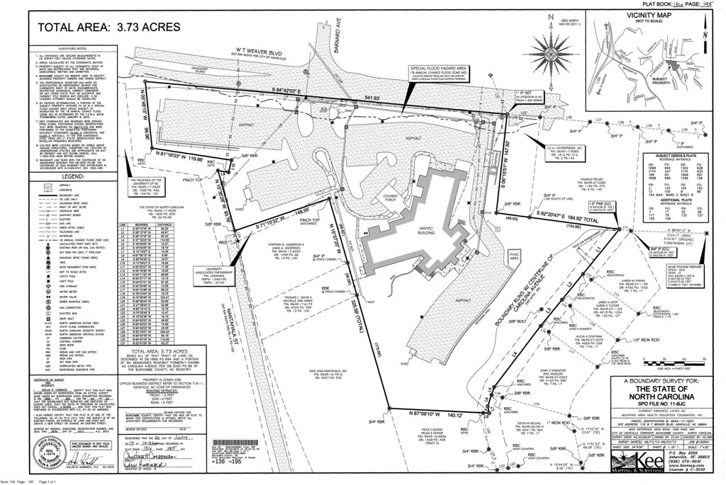
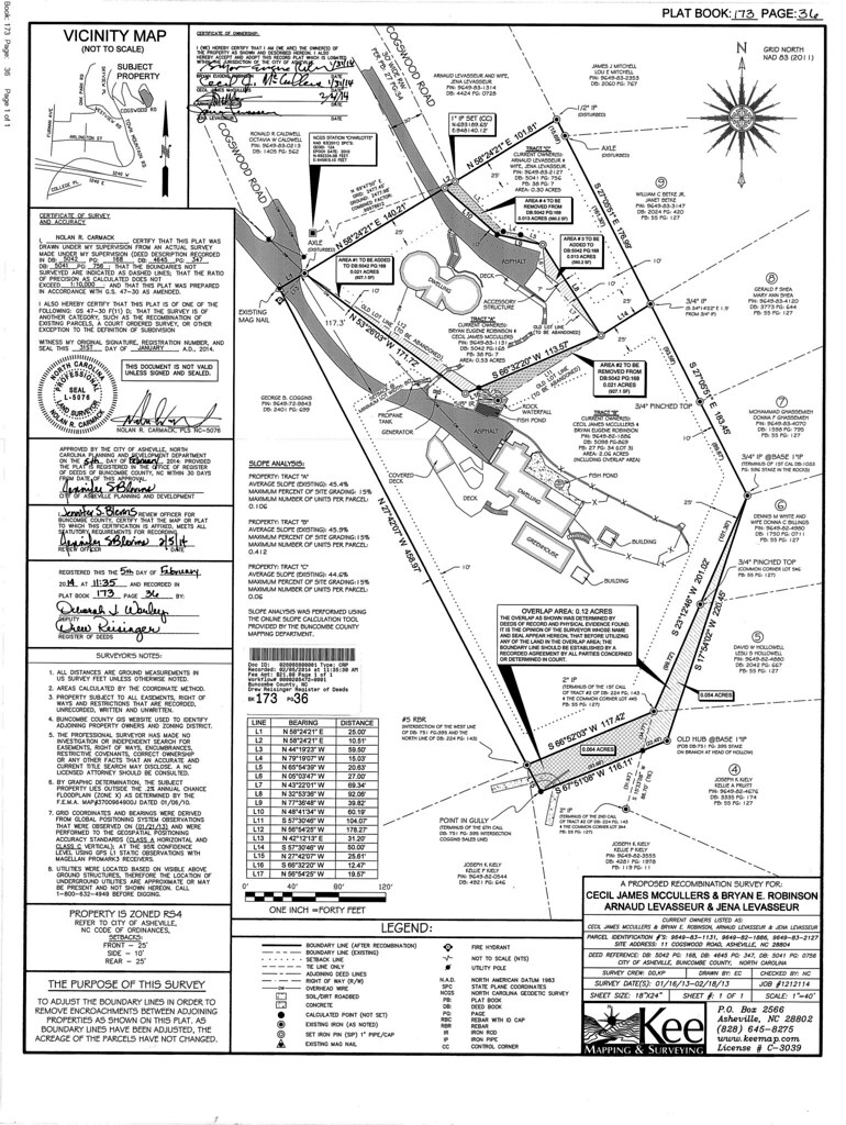
Boundary Surveys
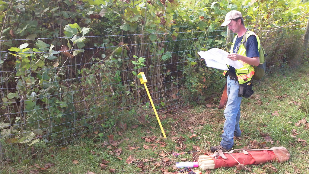
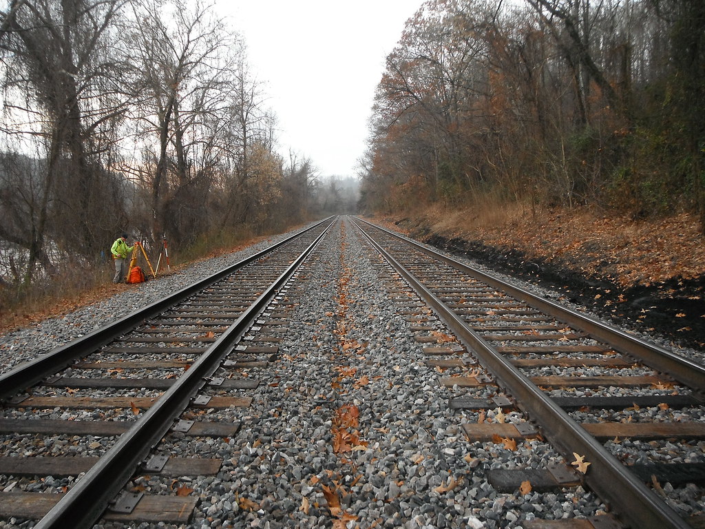
A boundary survey is the procedure by which a Professional Land Surveyor establishes or retraces the lines and corners of a parcel of land. Corner monuments, improvements, right of ways, encroachments and evidence of positions along the boundary lines are located in the field and carefully analyzed by the surveyor.
All available evidence found in record documents and in the field are then used to create a detailed map (plat) based on the surveyor’s professional opinion. Missing corners of record are replaced, reset or established and noted on the plat. As property values continue to rise, accurate surveys and written records are increasingly important. There are two types of boundary surveys:
Recorded Survey – These surveys are recorded in the county registry of the county in which a survey is performed. It is reviewed and signed by governing officials. A Recorded Survey is public and available to future surveyors. Kee Mapping & Surveying advises all our clients to put their surveys on record to avoid potential loss or boundary disputes.
Private Survey- A private survey is not certified by governing officials nor is it available to the public. In the case of boundary disputes, a private survey would not be available to future surveyors or neighbors.
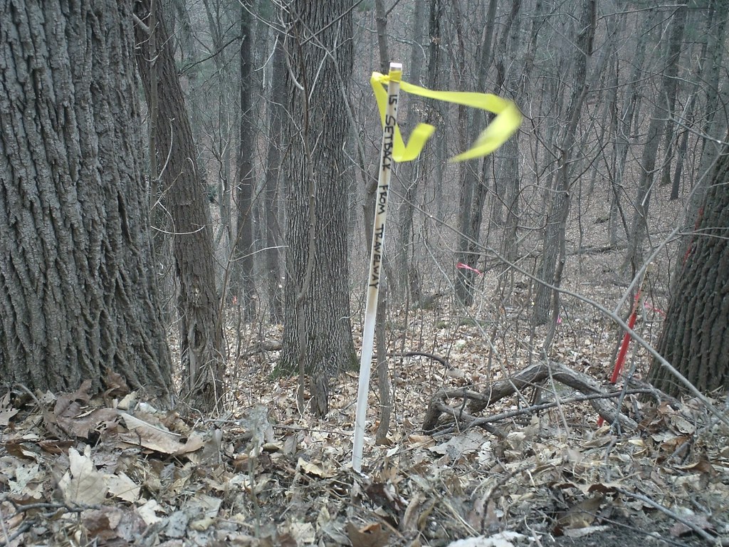
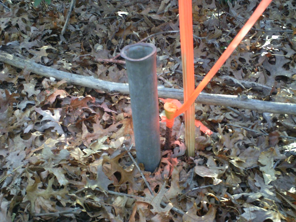
Boundary MarkingWhether leaving behind acreage for heirs, conserving land for future generations or simply defining property boundaries, marking your property lines helps to protect your investment. Landowners are highly encouraged to protect their property by marking and identifying their property lines. There are many different methods and techniques used to mark boundaries and identify property corners. Blazing and painting trees is one of the most permanent and durable methods. Many boundary surveys only identify and mark property corners. On large tracts of land, especially forested tracts, it is not possible to know exactly where the property line is located. But because of the nature of forested land, having clearly marked boundaries is the best way to maintain control over your property, avoid conflicts, prevent encroachment, and save you unnecessary cost. Protecting your property is important. Unmarked or improperly marked boundaries can leave you vulnerable to liability losses. In some cases, unmarked property can be lost to adverse possession, if uncontested, in as little as 7 years. By having clearly marked boundaries you protect yourself from timber theft, boundary disputes and even unwanted trespassers and poachers. Kee Mapping & Surveying is here to help our clients protect their boundaries by marking and identifying your property lines. Understanding Boundary Markings
|
||||||