Stream and Wetland Mitigation Surveys
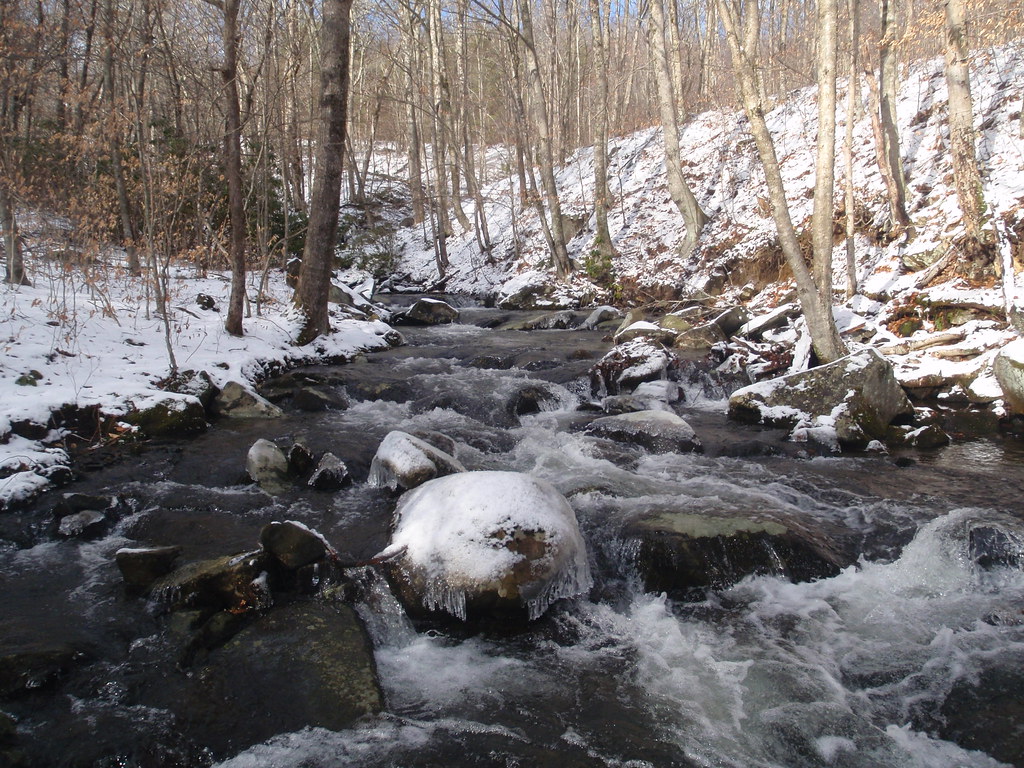
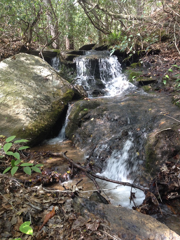
These projects involve the improvement and/or preservation of streams and wetlands. The eventual goal of many of these projects is the creation of a conservation easement, therefore protecting it from disturbance in the future once improvements (if necessary) have been made. We have a team of professionals with hands-on experience in working closely with mitigation banks, engineers, and landowners to do our part in restoring streams.
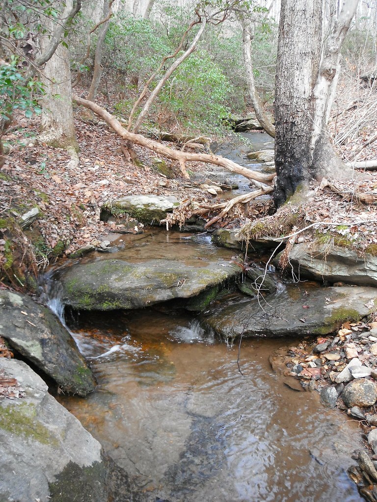
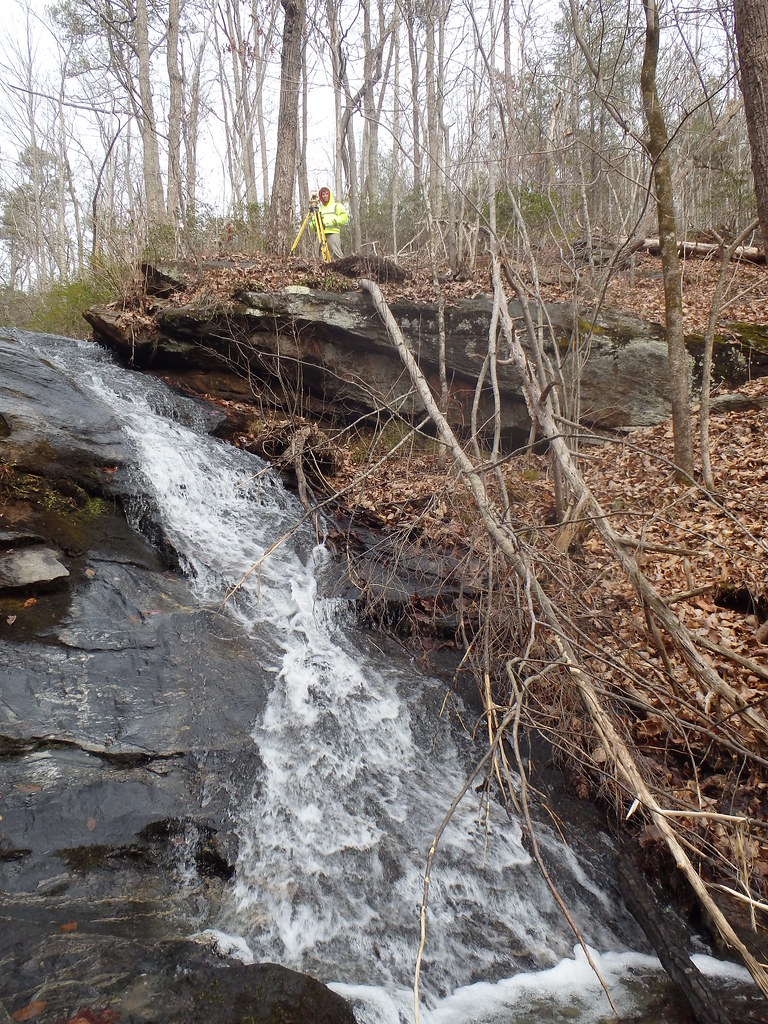
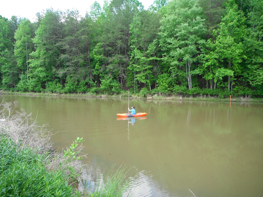
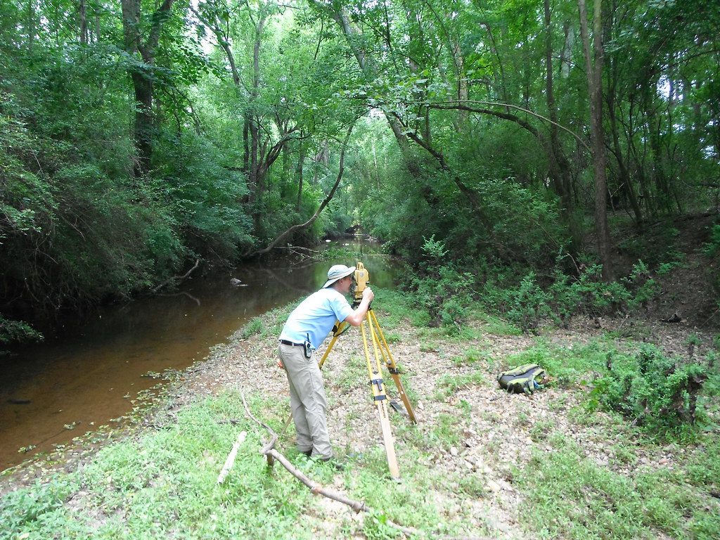
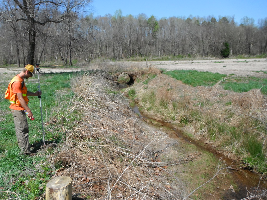
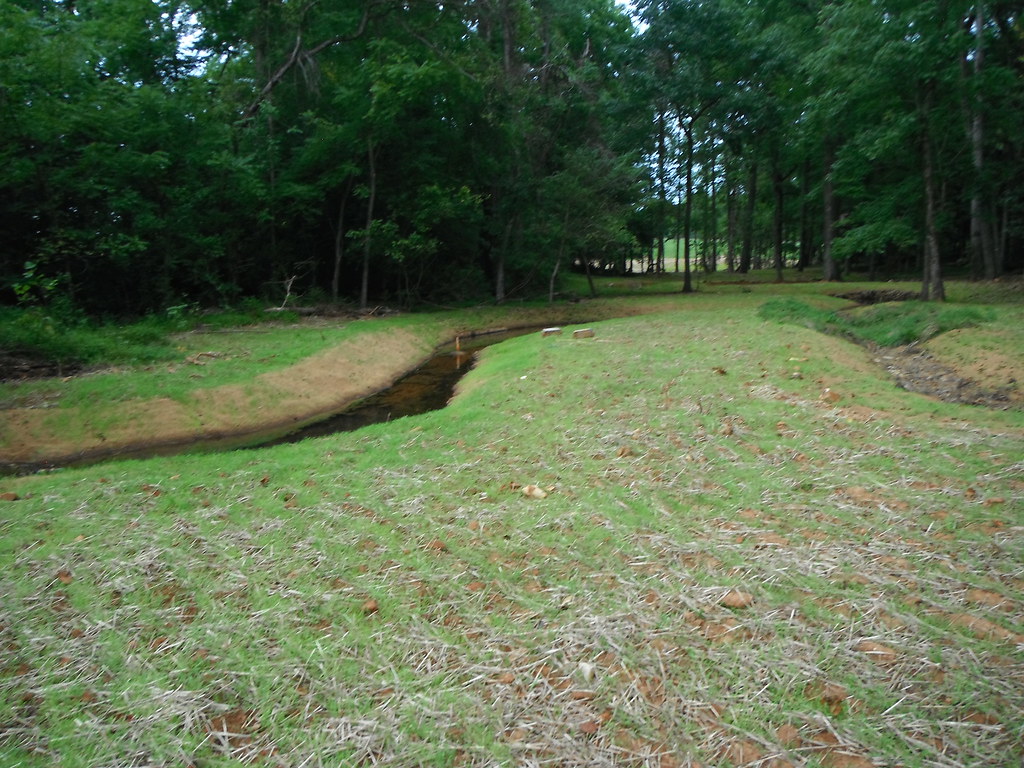
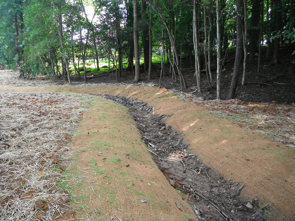
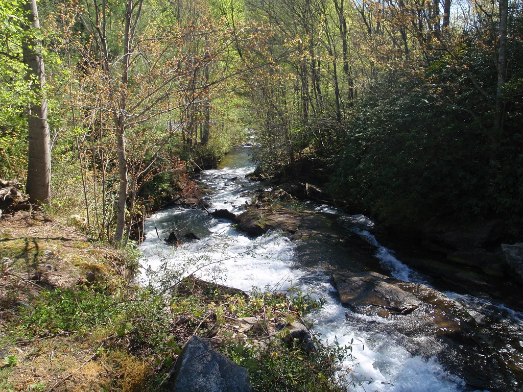
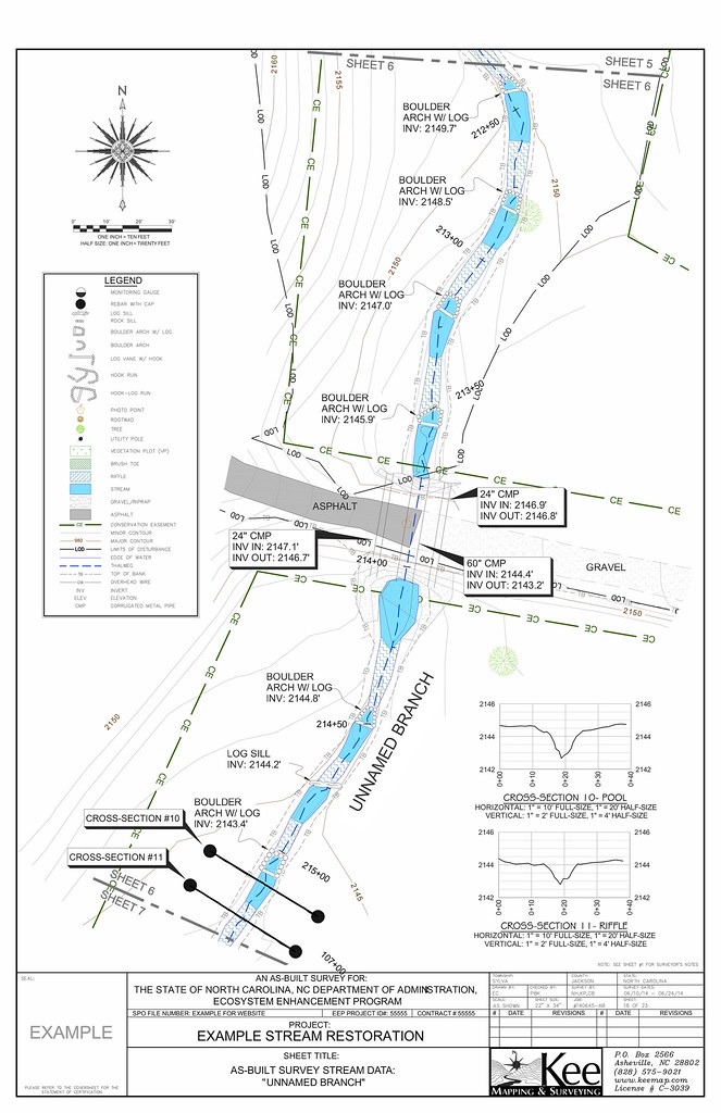
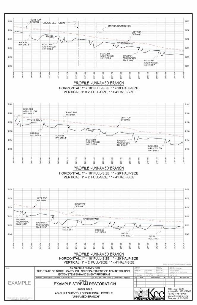
Existing Conditions SurveysOur field crews are highly skilled and experienced in collecting the necessary data to produce a detailed and accurate survey of existing stream corridors and floodplains. Typical data collected ranges from stream thalweg and banks to bedrock and delineated wetlands along with any other areas and features that the engineer might request. We provide our clients with detailed signed and sealed topographic maps along with DEM files, FEMA cross-sections, digital maps, and point data for the project area. As-Built SurveysAfter construction is complete our field crews will go on-site to survey the areas where improvements have been made. These surveys typically consist of topographic data (1 foot contours) along with detailed elevation and horizontal data for structures (log sills, culverts, vanes, etc.), water surface, cross-sections, longitudinal profiles of the thalweg, vegetation plots, head and tail of riffles, etc. Once the data collection is complete our mapping department takes the data and creates a signed and sealed set of maps showing all of the improvements. We also provide a DEM file, a digital map, and point data to the engineer so that they may use them for their record drawings. |
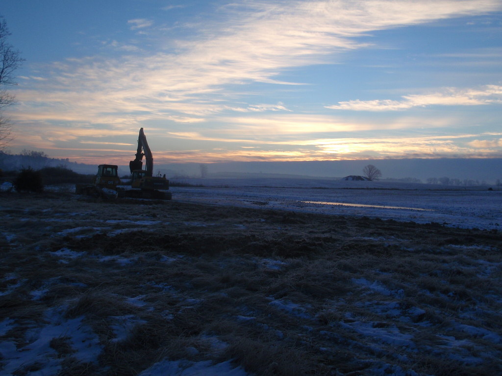
Construction Layout & 3D Models for Machine ControlWe offer several options for construction contractors to layout stream designs for their crews. As with any kind of construction layout or machine control model, we will take the engineer’s completed set of drawings and provide the crews with an accurate control network and precise horizontal and vertical locations of the designed stream features. Whether we are hired for traditional layout or a machine control model we always provide our clients with prompt and accurate service. Wetland Delineation MapsSince wetlands are protected by many laws, it is important to have documentation of their boundaries. After an environmental agency determines the wetland areas by marking them in the field we survey those areas and any other features that may be required. Upon the completion of the field work we will create a map that meets the governing agencies requirements. |