Residential and Commercial Services
Aside from boundary surveys for residential or commercial parcels, Kee Mapping provides many services that are needed by residents, designers, or contractors.
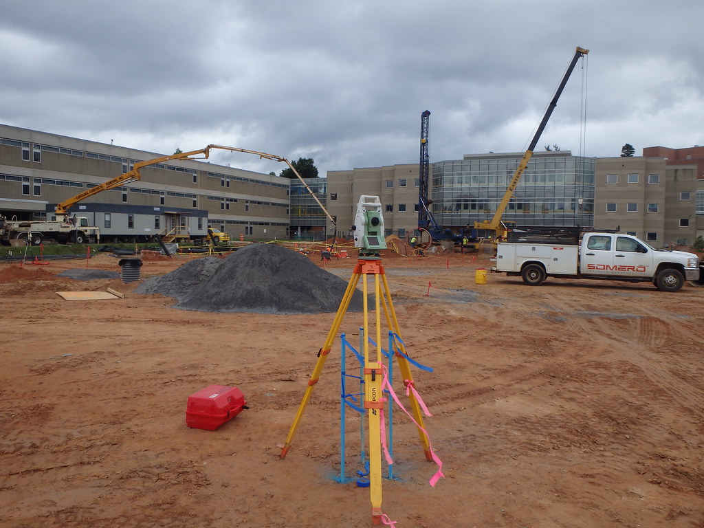
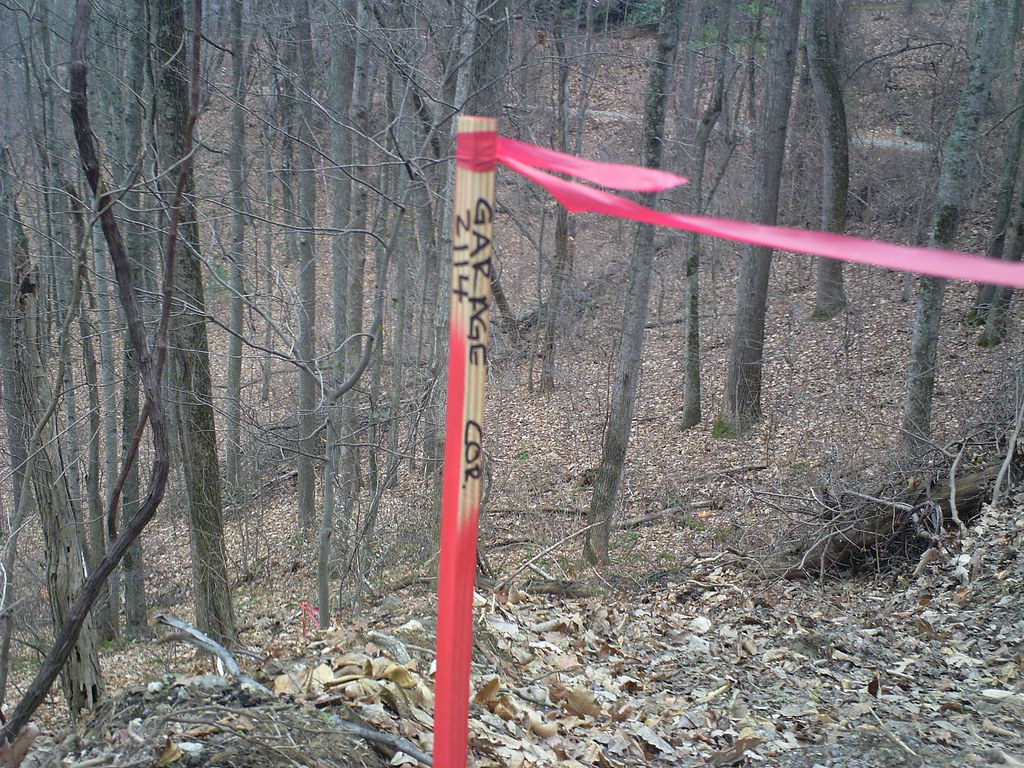
Construction LayoutKee Mapping & Surveying offers construction layout for all phases of development including horizontal and vertical grading, slope staking, sewer and water location, curb and gutter staking and building and footer layouts. We can help make the development process more efficient and cost-effective as well as work to minimize environmental impacts during the grading and layout phases of development. 3D Modeling3D Models combine the engineer’s design drawings and design information with a site’s survey using the latest CAD Software to create a 3D model of a proposed project. 3D models have many applications such as land planning, construction, presentations and volume calculations. Our models require basic information and data from the engineer’s final plan set so their vision can be recreated in the model as accurately as possible. The model is then loaded into GPS equipment and GPS controlled software on the site’s machinery and then can be used to stakeout and build all structures and construction features. In a sense, these models can be used in lieu of traditional construction layout in grading projects where there is little or no overhead obstructions and are a major savings for the client. |
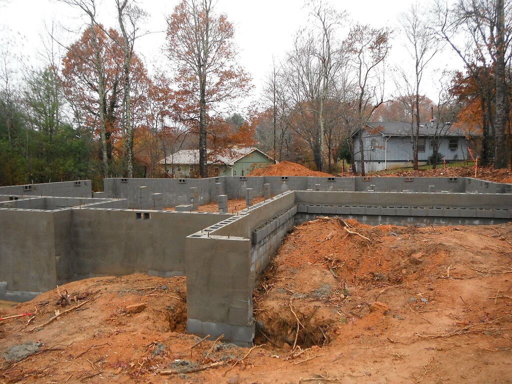
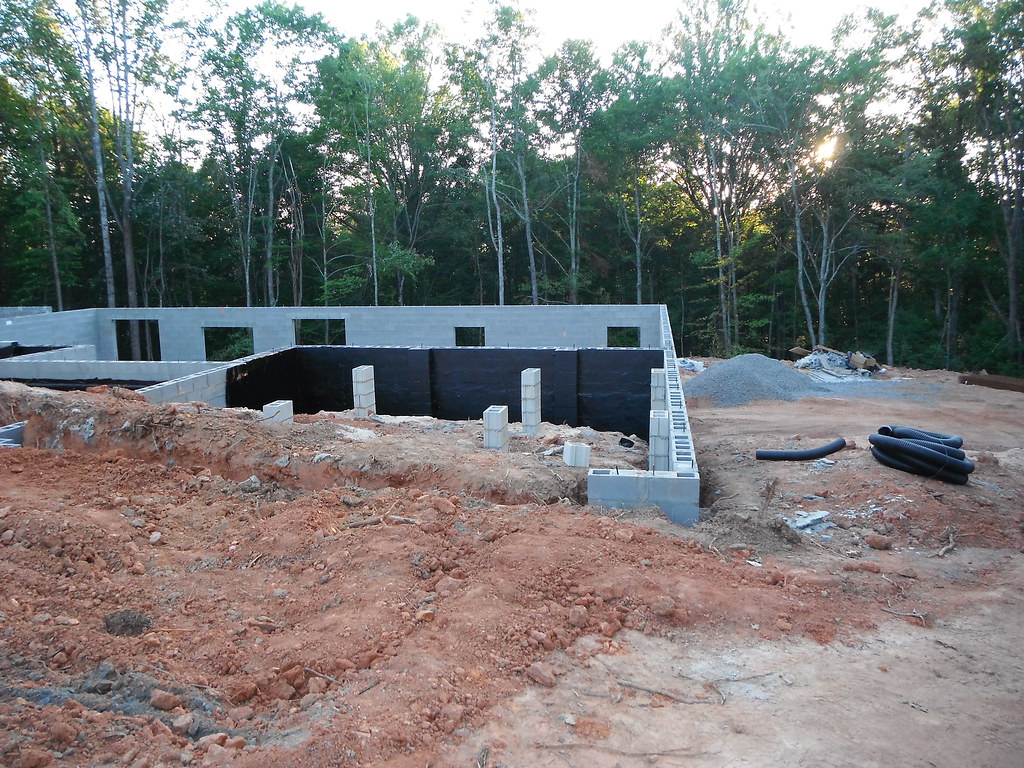
Site PlansThis type of survey is mostly used for design/layout purposes or for submittal to a governing entity in order to seek approval for a project. There are varying degrees of requirements depending on the client’s needs. Site plan surveys can include topography, boundary information and field located data for site features and man-made improvements. This information will often overlay an aerial image, LiDAR data, or other GIS data. As you can tell this type of survey can be as detailed or as basic as it needs to be and can be used for site specific planning in order to utilize the land in a proper manner with minimum impact to the environment. Foundation LocationThis type of survey is usually required by the bank for the acquisition of a loan. It verifies the location of structures and improvements on the property. As-BuiltIn the case of commercial and residential projects an as-built survey is done after construction is complete in order to verify that the site’s new features were built according to the design and comply with any building codes or ordinances. This type of survey can be done for residential and commercial structures or improvements such as roads, parking lots, and utilities. |